427:"}},"text\/plain":{"en":{"":"inception"}}},"{\"value\":{\"time\":\"+2007-01-13T00:00:00Z\",\"timezone\":0,\"before\":0,\"after\":0,\"precision\":11,\"calendarmodel\":\"http:\\\/\\\/www.wikidata.org\\\/entity\\\/Q1985727\"},\"type\":\"time\"}":{"text\/html":{"en":{"P571":"13 January 2007"}},"text\/plain":{"en":{"P571":"13 January 2007"}}}}": -->
38:
196:
202:
207:
94:
383:"}},"text\/plain":{"en":{"":"copyright license"}}},"{\"value\":{\"entity-type\":\"item\",\"numeric-id\":19113751,\"id\":\"Q19113751\"},\"type\":\"wikibase-entityid\"}":{"text\/html":{"en":{"P275":"
339:"}},"text\/plain":{"en":{"":"copyright status"}}},"{\"value\":{\"entity-type\":\"item\",\"numeric-id\":50423863,\"id\":\"Q50423863\"},\"type\":\"wikibase-entityid\"}":{"text\/html":{"en":{"P6216":"
335:
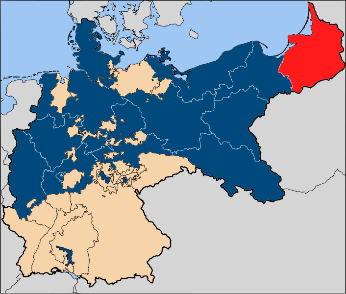
520:{{Information| |Description=The province of {{link|East Prussia}} (red), within the {{link|Kingdom of Prussia}} (blue). |Source= Based on map data of the IEG-Maps project (Andreas Kunz, B. Johnen and Joachim Robert Moeschl: University of Mainz) - http://
248:– You must give appropriate credit, provide a link to the license, and indicate if changes were made. You may do so in any reasonable manner, but not in any way that suggests the licensor endorses you or your use.
384:
340:
336:
424:
380:
544:
387:"}},"text\/plain":{"en":{"P275":"Creative Commons Attribution-ShareAlike 2.5 Generic"}}}}": -->
68:
64:
60:
56:
52:
48:
42:
185:
105:
77:
410:
366:
255:
350:
434:
394:
325:
163:
Based on map data of the IEG-Maps project (Andreas Kunz, B. Johnen and
Joachim Robert Moeschl: University of Mainz) -
539:
217:
254:– If you remix, transform, or build upon the material, you must distribute your contributions under the
343:"}},"text\/plain":{"en":{"P6216":"copyrighted"}}}}": -->
577:
113:
142:
502:
497:
37:
214:
8:
100:
315:
138:
174:
513:
567:
534:
597:
444:
404:
360:
607:
309:
Die
Provinz Ostpreußen (Rot), innerhalb des Königreichs Preußen (Blau)
470:
Click on a date/time to view the file as it appeared at that time.
164:
587:
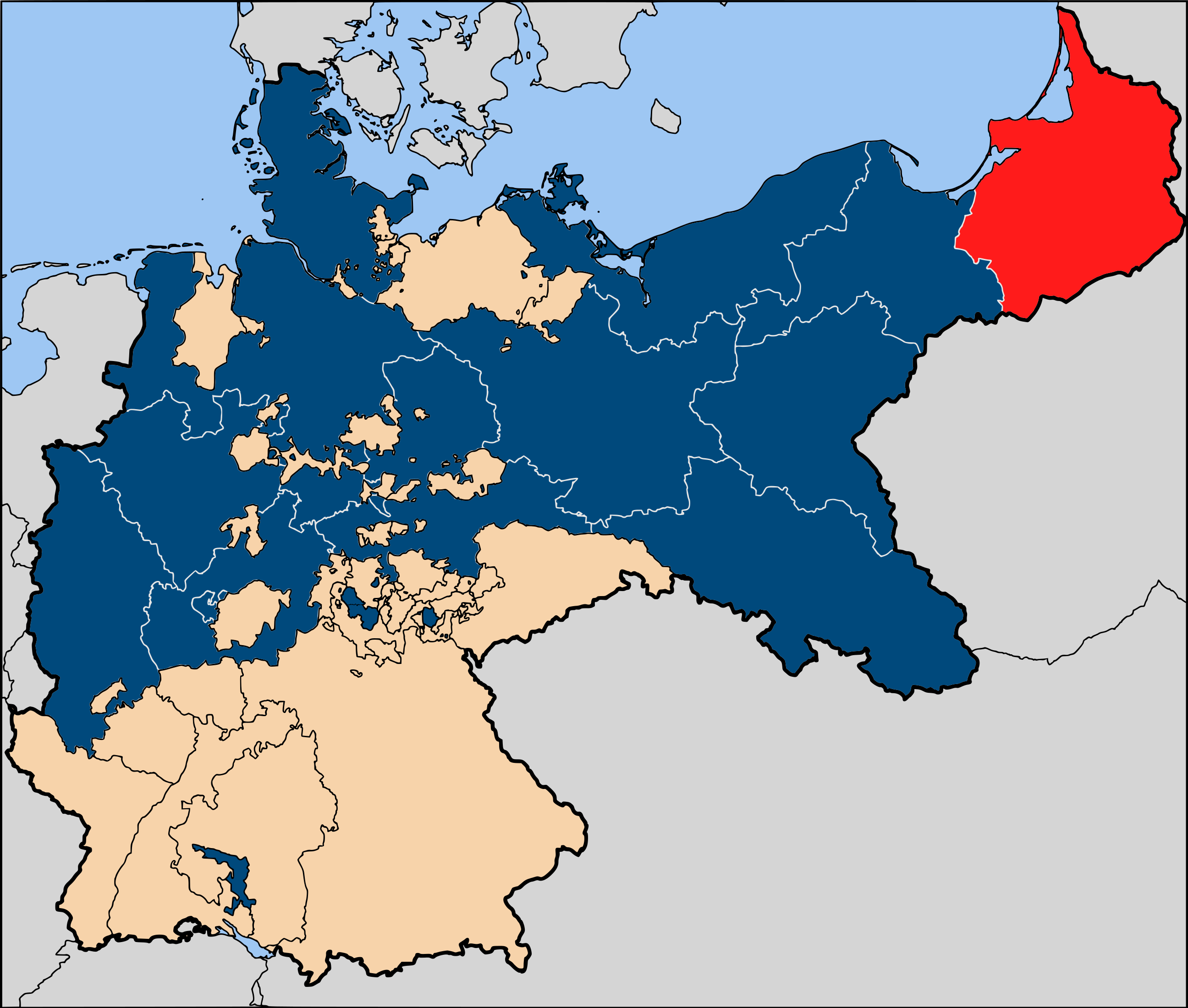
82:(SVG file, nominally 2,592 × 2,200 pixels, file size: 754 KB)
562:
153:
88:
545:
User:Jarry1250/Coats of arms of the provinces of
Prussia
301:
Add a one-line explanation of what this file represents
528:
617:
553:
468:
112:
Commons is a freely licensed media file repository.
411:
Creative
Commons Attribution-ShareAlike 2.5 Generic
385:
Creative
Commons Attribution-ShareAlike 2.5 Generic
265:https://creativecommons.org/licenses/by-sa/2.5
93:
271:Creative Commons Attribution-Share Alike 2.5
195:
180:
149:
130:
170:
159:
14:
231:– to copy, distribute and transmit the work
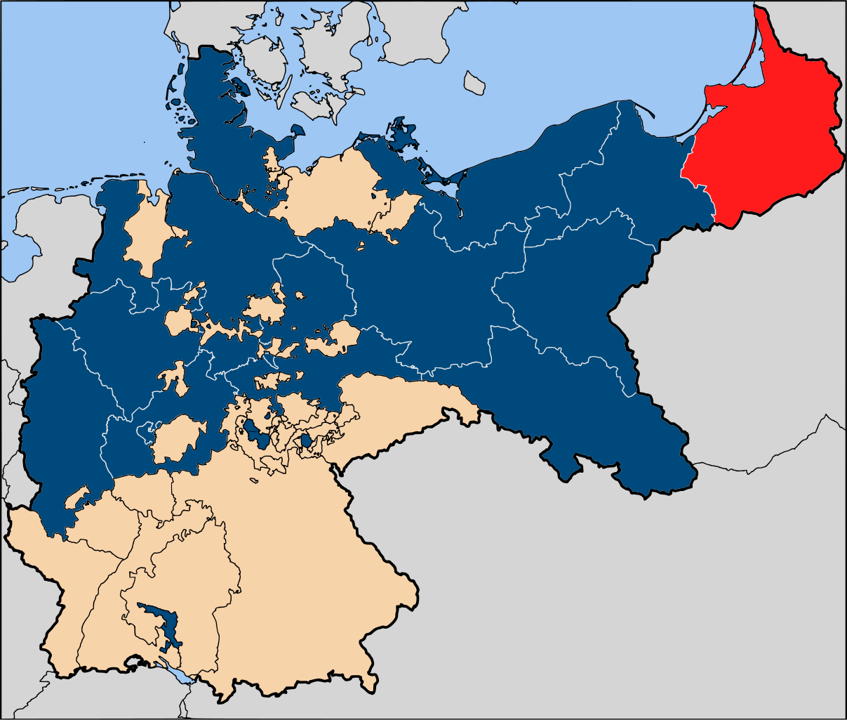
41:Size of this PNG preview of this SVG file:
555:The following other wikis use this file:
530:The following 3 pages use this file:
124:
461:
218:Attribution-Share Alike 2.5 Generic
206:
201:
13:
314:
308:
300:
192:
125:
75:
631:
540:User:Eurocopter/Sandbox/Archive 1
313:
291:
242:Under the following conditions:
213:This file is licensed under the
205:
200:
194:
165:http://www.ieg-maps.uni-mainz.de
92:
31:
21:
288:
550:
465:
287:
26:
1:
598:Liste des provinces de Prusse
568:Liste der Provinzen Preußens
525:
321:Items portrayed in this file
7:
584:Usage on frr.wikipedia.org
133:Map-Prussia-EastPrussia.svg
10:
636:
614:Usage on www.wikidata.org
604:Usage on no.wikipedia.org
594:Usage on fr.wikipedia.org
574:Usage on fa.wikipedia.org
559:Usage on de.wikipedia.org
256:same or compatible license
127:
462:
16:
290:
222:
99:This is a file from the
36:
519:
152:
103:. Information from its
608:Diskusjon:Øst-Preussen
498:18:11, 13 January 2007
106:description page there
69:2,592 × 2,200 pixels
65:2,413 × 2,048 pixels
61:1,207 × 1,024 pixels
237:– to adapt the work
47:Other resolutions:
143:Kingdom of Prussia
141:(red), within the
551:Global file usage
523:
395:copyright license
381:copyright license
307:
299:
284:
283:
189:
186:Reusing this file
121:
120:
101:Wikimedia Commons
32:Global file usage
627:
510:
472:
351:copyright status
337:copyright status
305:
297:
278:
275:
272:
269:
266:
258:as the original.
215:Creative Commons
209:
208:
204:
203:
198:
197:
183:
155:
137:The province of
134:
128:
117:
96:
95:
89:
83:
72:
57:905 × 768 pixels
53:566 × 480 pixels
49:283 × 240 pixels
43:706 × 599 pixels
635:
634:
630:
629:
628:
626:
625:
624:
549:
524:
516:
508:
464:
463:
460:
459:
458:
457:
456:
455:
454:
453:
451:
450:13 January 2007
441:
440:
439:
437:
422:
421:
420:
419:
418:
417:
416:
415:
413:
401:
400:
399:
397:
378:
377:
376:
375:
374:
373:
372:
371:
369:
357:
356:
355:
353:
334:
333:
332:
331:
330:
328:
312:
311:
310:
303:
302:
285:
280:
279:
276:
273:
270:
267:
264:
263:
221:
210:
154:13 January 2007
132:
123:
122:
111:
110:
109:is shown below.
85:
81:
74:
73:
46:
12:
11:
5:
633:
623:
622:
621:
620:
612:
611:
610:
602:
601:
600:
592:
591:
590:
582:
581:
580:
572:
571:
570:
565:
552:
548:
547:
542:
537:
527:
522:
521:
518:
514:
511:
507:2,592 × 2,200
505:
500:
495:
491:
490:
487:
484:
481:
478:
475:
467:
452:
449:
447:
446:
445:
443:
442:
438:
433:
431:
430:
429:
428:
426:
414:
409:
407:
406:
405:
403:
402:
398:
393:
391:
390:
389:
388:
386:
382:
370:
365:
363:
362:
361:
359:
358:
354:
349:
347:
346:
345:
344:
342:
338:
329:
324:
322:
319:
318:
317:
316:
304:
296:
295:
292:
289:
282:
281:
262:
261:
260:
259:
249:
240:
239:
238:
232:
225:You are free:
212:
211:
193:
190:
178:
177:
175:User:52 Pickup
172:
168:
167:
161:
157:
156:
151:
147:
146:
135:
126:
119:
118:
97:
87:
86:
40:
35:
34:
29:
24:
19:
9:
6:
4:
3:
2:
632:
619:
616:
615:
613:
609:
606:
605:
603:
599:
596:
595:
593:
589:
586:
585:
583:
579:
576:
575:
573:
569:
566:
564:
561:
560:
558:
557:
556:
546:
543:
541:
538:
536:
533:
532:
531:
517:
512:
506:
504:
501:
499:
496:
493:
492:
488:
485:
482:
479:
476:
474:
473:
471:
448:
436:
432:
412:
408:
396:
392:
368:
364:
352:
348:
327:
323:
320:
293:
286:
268:CC BY-SA 2.5
257:
253:
250:
247:
244:
243:
241:
236:
233:
230:
227:
226:
224:
223:
219:
216:
199:
191:
187:
182:
179:
176:
173:
169:
166:
162:
158:
148:
144:
140:
136:
129:
115:
108:
107:
102:
98:
91:
90:
84:
79:
78:Original file
70:
66:
62:
58:
54:
50:
44:
39:
33:
30:
28:
25:
23:
20:
18:
15:
554:
535:East Prussia
529:
469:
466:File history
251:
245:
234:
228:
139:East Prussia
114:You can help
104:
76:
22:File history
588:Uastpreußen
367:copyrighted
341:copyrighted
252:share alike
246:attribution
131:Description
578:پروس خاوری
563:Ostpreußen
526:File usage
483:Dimensions
181:Permission
27:File usage
515:52 Pickup
480:Thumbnail
477:Date/Time
435:inception
425:inception
509:(754 KB)
294:Captions
235:to remix
229:to share
220:license.
618:Q103801
494:current
489:Comment
326:depicts
298:English
145:(blue).
80:
306:German
171:Author
160:Source
486:User
277:true
274:true
150:Date
17:File
67:|
63:|
59:|
55:|
51:|
45:.
188:)
184:(
116:.
71:.
